
Why go
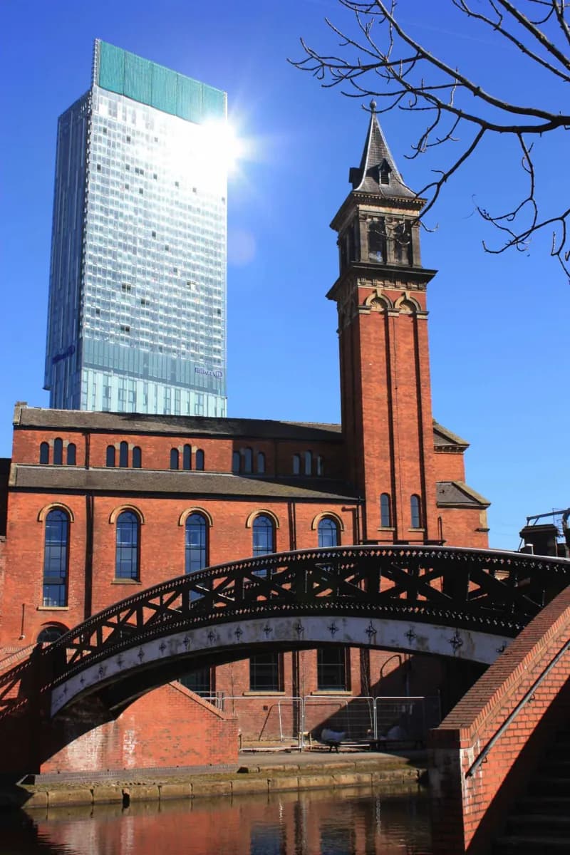
Few central areas show Manchester's changes so clearly in one walk. The Bridgewater Canal basin, railway viaducts and Mamucium's reconstructed fort area connect Roman origins with transport-led industrial growth; the Science and Industry Museum adds an indoor extension. All three layers are close enough to compare on foot.
What to look for
- Canal water and towpaths cut between old warehouse buildings.
- Railway viaducts cross above the district.
- The Mamucium fort area recalls Castlefield's Roman layer.
The full story
Castlefield carries several stages of Manchester's history in a small area. The Roman fort of Mamucium stood here, and reconstructed remains now indicate part of its footprint. Much later, canals and railways converged around the basin, helping move coal and goods into a growing industrial city. The Bridgewater Canal and the surviving railway structures show why transport shaped the district so strongly. Liverpool Road station and early railway buildings became part of the Science and Industry Museum, giving the outdoor walk an indoor continuation. Castlefield was designated a conservation area in 1980 and an Urban Heritage Park in 1982, recognising the value of these overlapping remains. Today the useful way to read the area is by moving between levels: canal water below, former warehouses beside it, viaducts overhead and the Roman site nearby. Each layer explains a different reason Manchester grew here.
Useful to know
- Explore the canal basin and viaducts on foot before choosing an indoor stop.
- Allow extra time if you add the Science and Industry Museum.
- Expect outdoor paths and waterside edges throughout the district.
Your next visit
Estimated · Declared scenario and planning estimates; no live opening, weather, queue or booking service.
Outdoor visit · 30–45 min
World planning estimate; admission, opening, visit duration and access need checking.