
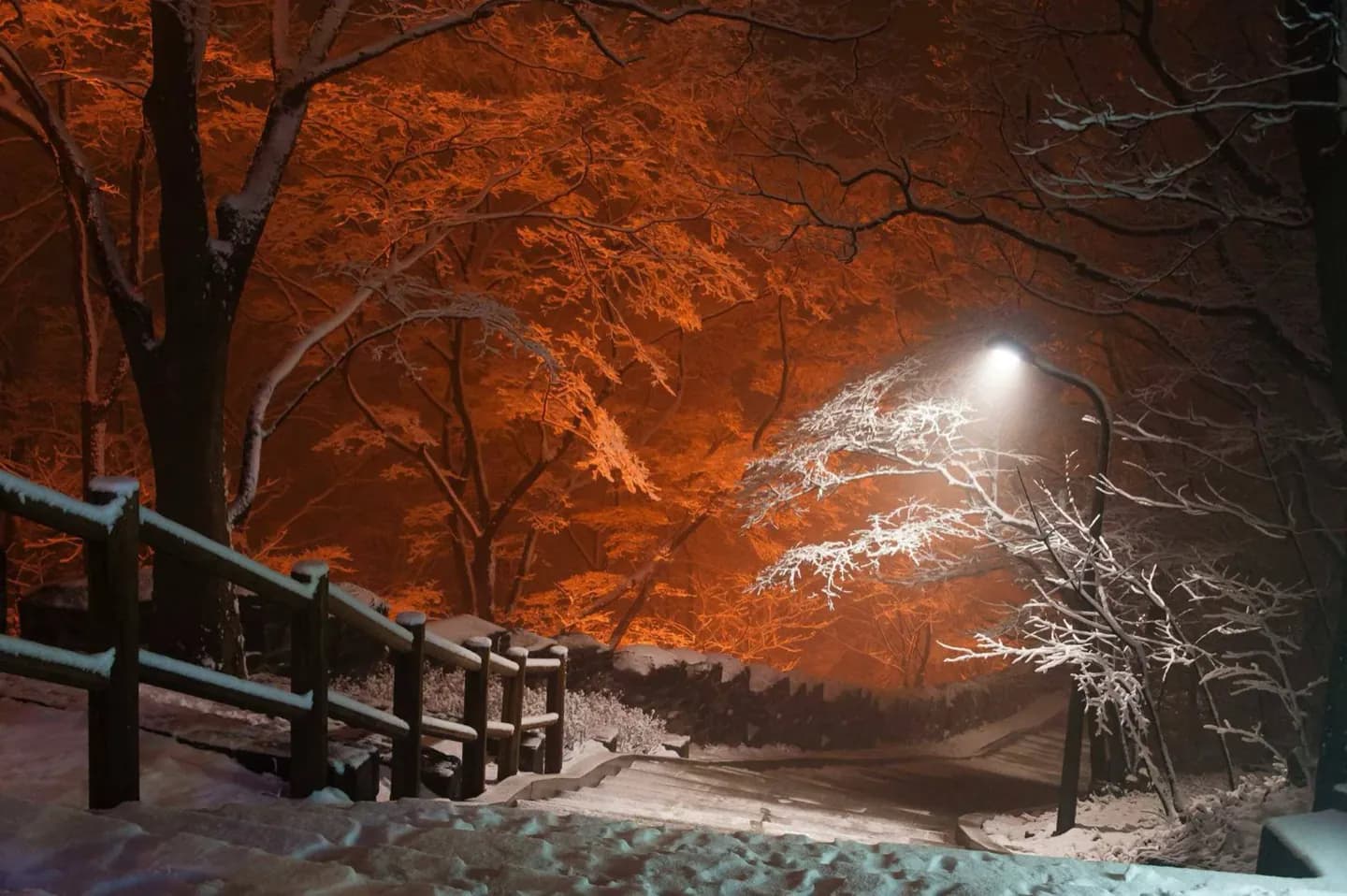
Why go
Namsan combines recreation with city orientation. The summit area brings together broad views, N Seoul Tower, and a restored beacon station, so the climb explains both modern Seoul’s scale and an older communication network. Few central outings place wooded paths, skyline, and communications history in such a direct sequence.
What to look for
- Panoramic views across central Seoul’s skyline
- N Seoul Tower standing on the summit
- Mongmyeoksan Bongsudae, part of an early smoke-signal system
The full story
Namsan means South Mountain, a name that describes its position relative to the historic center. The peak rises to 262 meters in Jung-gu and was once known as Mongmyeoksan. Today it is a public park, but its wooded slopes preserve several different readings of Seoul in one compact climb. The skyline view shows how tightly the modern city surrounds this central hill. N Seoul Tower adds a contemporary landmark to the summit, while Mongmyeoksan Bongsudae points to an earlier use of elevation. The beacon station belonged to a smoke-signal network that carried emergency information before modern communications, remaining in service until 1895. That context changes the view: high ground was valuable not only for scenery but also for surveillance and rapid signaling. As you climb, compare the enclosed feel of the paths with the increasingly broad city panorama. At the top, the beacon and tower create a useful visual pair—two structures from very different eras, each using the mountain’s height to connect Seoul with a wider territory.
Useful to know
- Visit in daylight and choose footwear suited to a sustained uphill walk.
- Set aside extra time if the summit and tower are both priorities.
- Use clear weather for the widest skyline view.
Your next visit
Estimated · Declared scenario and planning estimates; no live opening, weather, queue or booking service.
Outdoor visit · 30–45 min
World planning estimate; admission, opening, visit duration and access need checking.