
Why go
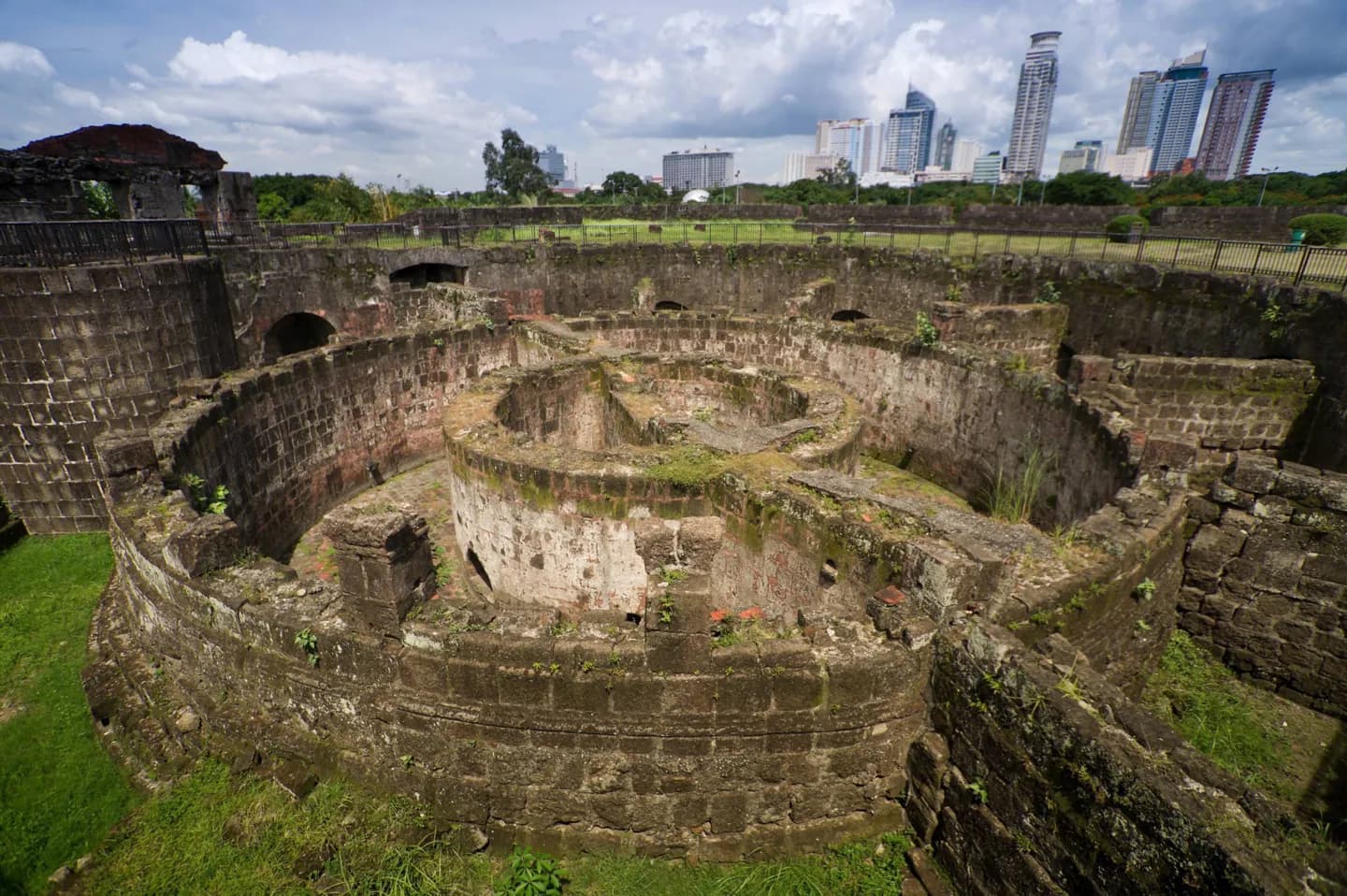
Start here to understand how the Spanish colonial city was laid out beside Manila Bay and the Pasig River. Plaza de Roma, Manila Cathedral and Fort Santiago give the walk clear anchors, while the walls make its boundaries visible. The district is large enough to merit a planned route rather than a single map pin.
What to look for
- Stone walls and gates tracing the old city's perimeter.
- Plaza de Roma and Manila Cathedral in the civic core.
- The shift from district streets into Fort Santiago's enclosed grounds.
The full story
Intramuros means “within the walls,” and the name still describes the district's clearest physical feature. Its fortifications followed the edge of Manila Bay and the bend of the Pasig River, enclosing the colonial core. The Intramuros Administration dates construction of the walls and defensive works from 1590 to 1825. War damage and later rebuilding altered much of what stands within them, so this is not a frozen Spanish-era town. Schools and everyday streets share space with churches, plazas and restored historic sites. A walk between the gates, Plaza de Roma and Fort Santiago reveals that mixture better than viewing a single facade. It also helps explain why a surviving wall, a rebuilt church and a former church site can sit close together yet tell different parts of Manila's history.
Useful to know
- Use Plaza de Roma and Fort Santiago as anchors for a walk through the district.
- Check each museum, church or fort separately before planning interior visits.
- Allow for exposed stretches along the walls in hot or wet weather.
Your next visit
Estimated · Declared scenario and planning estimates; no live opening, weather, queue or booking service.
Outdoor visit · 30–45 min
World planning estimate; admission, opening, visit duration and access need checking.