
Why go
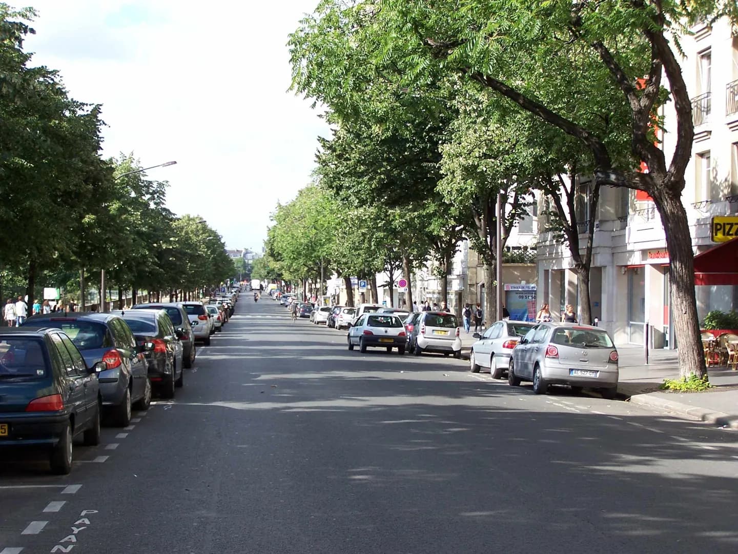
The boulevard reveals a quieter edge of the Bastille district. Boats occupy the former defensive ditch, gardens line the Port de l’Arsenal, and the waterway links the Canal Saint-Martin with the Seine. Walking the street clarifies how infrastructure, fortifications and leisure space overlap south of the famous square.
What to look for
- Views look across pleasure boats moored in the Port de l’Arsenal.
- The canal lock at the southern end connects the basin with the Seine.
- The route approaches Place de la Bastille from the quieter marina side.
The full story
Boulevard de la Bastille runs along the eastern side of the Port de l’Arsenal, the marina occupying the former ditch behind the Bastille fortress. The basin became part of the Canal Saint-Martin system, linking the northern canal route to the Seine through a lock near Pont Morland. The boulevard itself, formerly Rue de la Contrescarpe, received its current name in 1898 because of its proximity to Place de la Bastille. Its roughly 700-metre course therefore follows several historical layers: the edge of a fortress, an industrial waterway and a modern leisure harbour. The surrounding district can feel dominated by traffic and the opera house, but the boats, planted banks and changing water level make this side of Bastille legible as a canal landscape.
Useful to know
- Use the boulevard as a linear walk between Place de la Bastille and the Seine rather than a single fixed viewpoint.
- Descend to the port garden where access is open for a closer view of the basin.
Your next visit
Estimated · Declared scenario and planning estimates; no live opening, weather, queue or booking service.
Outdoor visit · 30–45 min
World planning estimate; admission, opening, visit duration and access need checking.