
Why go
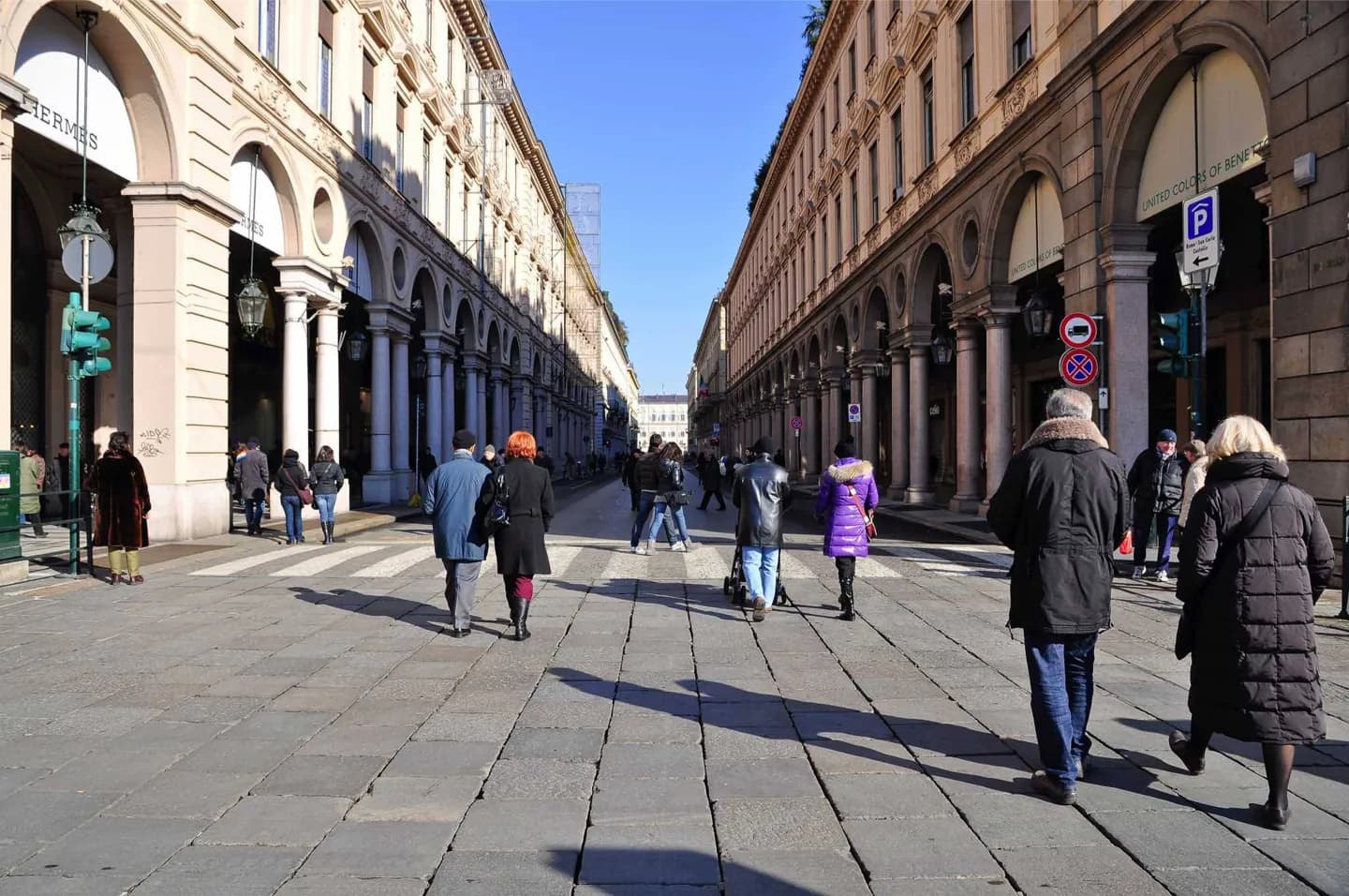
Use the street to connect the royal quarter, Piazza San Carlo and the station on foot. It also shows how Turin repeatedly recast the same route: a late Renaissance street was extended south and rebuilt in the twentieth century with porticoes, polished stone and a more uniform frontage.
What to look for
- Piazza San Carlo interrupts the straight north–south axis.
- The porticoes frame shopfronts beneath coordinated twentieth-century facades.
- Piazza Carlo Felice and the station close the southern end of the route.
The full story
The first Via Nuova was laid out under Duke Carlo Emanuele I at the end of the sixteenth century. It established a straight route south from the old centre, later extended toward the station area in the nineteenth century. The present appearance, however, owes much to an ambitious rebuilding in the 1930s. The stretch between Piazza Castello and Piazza San Carlo gained new arcaded facades and patterned stone surfaces; work then continued southward. That mixture matters when looking along the street. Its line belongs to an earlier plan for a growing Savoy capital, while many of the surfaces a visitor sees were made centuries later. The arcades maintain Turin’s characteristic sheltered walk and lead naturally through Piazza San Carlo, whose twin churches and open space break the regular street rhythm.
Useful to know
- Walk the full axis from Piazza Castello to Porta Nuova to see the shift from courtly squares to the station.
- Turn into Piazza San Carlo to compare its older churches with Via Roma’s later street fronts.
Your next visit
Estimated · Declared scenario and planning estimates; no live opening, weather, queue or booking service.
Outdoor visit · 30–45 min
World planning estimate; admission, opening, visit duration and access need checking.