
Why go
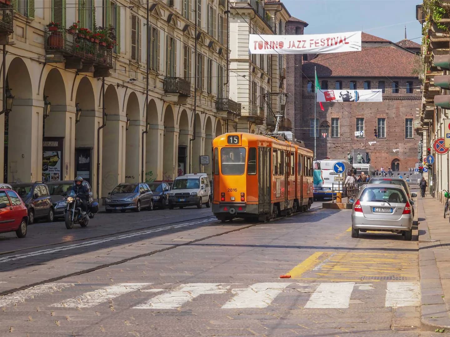
This is one of the clearest ways to understand how Turin was planned. The covered pavement makes the walk useful in rain, while its stalls and shopfronts turn a direct route to the Po into a browse. Look across the street to see how an avenue built through the older grid leads toward the river crossing.
What to look for
- The long arcades shelter book and record stalls along the route.
- The historic University of Turin building stands among the street’s civic institutions.
- The diagonal line opens from Piazza Castello toward the broad Piazza Vittorio Veneto.
The full story
Via Po was laid out during Turin’s seventeenth-century expansion, when the Savoy court wanted a direct link between Piazza Castello and the route across the Po. Amedeo di Castellamonte planned a street that cuts diagonally through the older grid, which explains the striking perspective you see from either end. Its institutional role grew alongside its commercial one: the university’s historic seat is here, as are arcades long used by booksellers and other traders. The porticoes were developed after the original street, and later covered crossings helped extend sheltered movement toward the river. Read the street as a piece of city planning rather than just a shopping corridor: it takes you from the court’s centre to the open space of Piazza Vittorio Veneto and the bridge beyond.
Useful to know
- Walk from Piazza Castello toward Piazza Vittorio Veneto for the clearest sense of the street’s changing scale.
- Browse the arcade stalls when they are trading; continue to the river for a broader view.
Your next visit
Estimated · Declared scenario and planning estimates; no live opening, weather, queue or booking service.
Outdoor visit · 30–45 min
World planning estimate; admission, opening, visit duration and access need checking.