
Why go
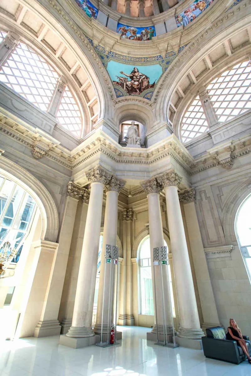
The hill brings together two defining chapters of Barcelona’s built landscape: the 1929 International Exposition around Palau Nacional and the 1992 Olympic sites higher up. Between them, gardens and belvederes open views across the city, coastline and harbour. Its spread makes choosing a focus essential.
What to look for
- Belvederes look across Barcelona, the port and the coast.
- Gardens connect the exhibition buildings with the hill’s cultural venues.
- The Olympic Ring adds a different architectural layer higher on the hill.
The full story
Montjuïc was shaped by several different uses rather than one single plan. Its slopes once supported grazing and food growing, while the hilltop fortress watched the harbour and the city. Parkland expanded in the late nineteenth century. The 1929 International Exposition then remade the approach from Plaça d’Espanya, adding Palau Nacional, the Magic Fountain and Poble Espanyol. Later, the 1992 Olympics gave the upper hill another set of landmarks around the stadium and Palau Sant Jordi. Walking between these sites makes the changes visible: formal exhibition axes give way to gardens, sports buildings and long views. The hill’s size also explains why a map of Montjuïc can mislead. Nearby names may lie on different levels, and each museum or venue controls its own access.
Useful to know
- Choose either the Palau Nacional museums or the Olympic Ring as a main focus, then add a nearby garden or viewpoint.
- Allow for climbs between levels; access to gardens and institutions varies by site.
Your next visit
Estimated · Declared scenario and planning estimates; no live opening, weather, queue or booking service.
Outdoor visit · 30–45 min
World planning estimate; admission, opening, visit duration and access need checking.