
Why go
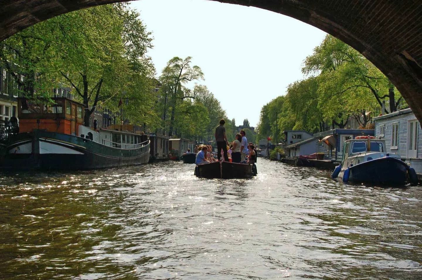
Take it to understand how bridges, canal-house facades and waterways fit together before exploring on foot. The low angle from the boat makes Amsterdam's seventeenth-century urban design easier to read than from a single street. It also helps you choose which canal to revisit slowly afterward.
What to look for
- Watch narrow gabled houses line up as continuous walls along the water.
- Compare bridge profiles and the changing width of central canals.
- Look back at street corners to see how canal and road networks interlock.
The full story
Amsterdam's canal network was built as infrastructure for drainage, defence, movement and trade, not simply as scenery. From a boat, those purposes become easier to connect. Bridges define short sections of water, merchant houses turn their narrow fronts toward former loading routes, and side canals reveal how the city expanded in planned arcs. A fixed one-hour cruise cannot explain every building, but it gives a continuous view that walking fragments into separate streets. The perspective also changes scale: tall facades appear to rise directly from the quays, while bridge openings frame the next stretch ahead. The named product is specifically the classic one-hour cruise operated by LOVERS, rather than canal cruises as a whole. Use it as an overview of the central water system, then choose a section such as Herengracht, Keizersgracht or Prinsengracht for slower exploration at street level.
Useful to know
- Use the named LOVERS product details only; other operators follow different routes and policies.
- Treat the cruise as orientation, then revisit one canal section on foot.
- Plan a canal-side walk afterward because fixed boat seating limits close facade inspection.
Your next visit
Estimated · Declared scenario and planning estimates; no live opening, weather, queue or booking service.
Outdoor visit · 30–45 min
World planning estimate; admission, opening, visit duration and access need checking.